Wednesday, August 9th, 2017
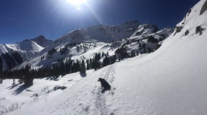
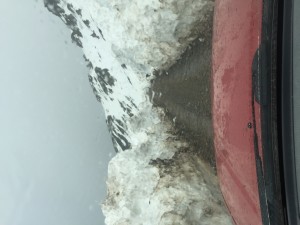
People always ask about the biking at the OPUS. “Well, it’s MOUNTAIN Biking”, I’ll answer.
Truth is, it’s not the mountain biking that the common man has come to experience in recent years. When I started mountain biking, there wern’t any mountain bikes. Mountain biking was riding trails we were accustomed to hiking and running, with a Schwinn ten speed with straight bars. When we didn’t have to walk half the time, that was considered surprising.
Mountain biking at the OPUS is rugged-mostly. We have a couple cruiser loops that are pure riding joy without any hike-a-bike. Otherwise, the riding involves lots of pushing, carrying and even dragging your “ride”.
The rewards are worth the extra effort. Cruising alpine trails for miles with open vistas and scenery unmatched in Moab or Fruita. Trails with hundreds of feet of exposure-keeps the blood flowing. Stopping at alpine lakes for a swim.
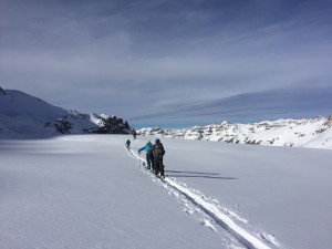
So, come on up and try the traverse to the hut from Black Bear Pass, try the crossing over to Bridal Veil basin, then down to Telluride. If you like real mountain biking, you’ll be back for more. One group has been back seven times to try new alpine trail combinations. The options are endless.
Monday, May 8th, 2017
Back when I was guiding on the Tenth Mountain Hut System, I vividly recall the time when people began to use GPS systems in the backcountry. It was obvious when you were following a ski trail put in by someone using a GPS. It was obvious because they were always in the wrong place. Instead of following well marked routes that followed efficient safe paths, which had been established for years, they would straight-line through gorges, over hills and sometimes into and through hazardous avalanche terrain. They were following the bearing and distance directions dictated by their GPS.

I’m not saying that GPS are not helpful.
In May of 2003, while Base-camped on Bering Ice field, waiting to attempt the west face of Mt. Miller in the Wrangell St. Elias National Park. On a beautiful, calm, sunny day, we marked a waypoint at camp and headed onto ice field to get a better vantage of the final segment of the route we planned to attempt. As we strode out onto the immense ice field, seven miles across at that point, we marked a few more waypoints as we rounded the western ridge of Mt. Miller. We got the vantage we needed and decided on one of two routes leading us into the bottom of the summit couloir, a 2,500 vertical ft. arrow which spilled over a 2,500 vertical ft. abyss. We would have to traverse from the top another couloir, through broken rock and third class ice. For the rest of that story, see The American Alpine Journal 2003. Turning back towards camp, in the direction of the ocean, we noticed the fog rolling up the ice field. Soon we were awash in the white room. Without those waypoints, and even with the glacier wands we had placed, we would have been lost and spent night in an uncomfortable bivy in the middle of that vast white no mans land.
In the mountains, in rough terrain, you cannot simply follow a vector and distance, straight-lining into oblivion. Only map reading skills can tell you what type of terrain you will encounter along that straight line. If you’ve spent time in the mountains, you know, a straight line is never possible or efficient and often dangerous, possibly leading you blindly into avalanche or other danger. This may seem obvious to those who do have map skills and use GPS in an effective way.
So, take the time to learn the disappearing skill of map reading. It takes time and practice, and mistakes, to become a good map reader. It’s worth your time and effort. When you can really read topo maps well, you can study a map of anywhere in the world and be there in your minds eye. You can see the massive peaks, broad glaciers and deadly deep gorges where you will never go, because you’ve been there in your minds eye and you couldn’t find a safe way out.
Wednesday, January 11th, 2017
As skiers we live with the paradox of thriving on what has the potential to kill us. This is not a diminutive fact; and out of this lives a smaller but important dilemma–the paradox of the backcountry ski hut. The backcountry ski hut requires inclement weather for its survival. And yet when this weather rolls in so do the cancellations. The very same thing that keeps us prosperous as a business has potential to bring us down when people decide that the thing they visit huts for–powder– is the reason they decide to cancel. It’s too much, it’s not the right kind, it’s all over the roads, it’s blowing too hard. We hear it all.
Our policy at the Opus Hut is that if the avy danger is high a free transfer of dates is guaranteed. We do not offer refunds for lower danger. This is our policy because we are a business. We provide jobs, and we provide good times (we hope) to those who are willing and able to assume some level of risk and responsibility.
We do not want to sound callous. The last thing we want is to put lives in danger. Backcountry skiing involves some degree of risk and when we book a hut trip and sign that waiver we are assuming a level of danger, and unpredictable weather–because this is Necessary for our sport, and backcountry hut skiing is extreme. It is scary and unpredictable, but also adventurous, dynamic, and sensuous. It is a paradox; one whose followers must respect in order to keep viable for all who would like to engage in it.
-Miriam
Tuesday, December 8th, 2015
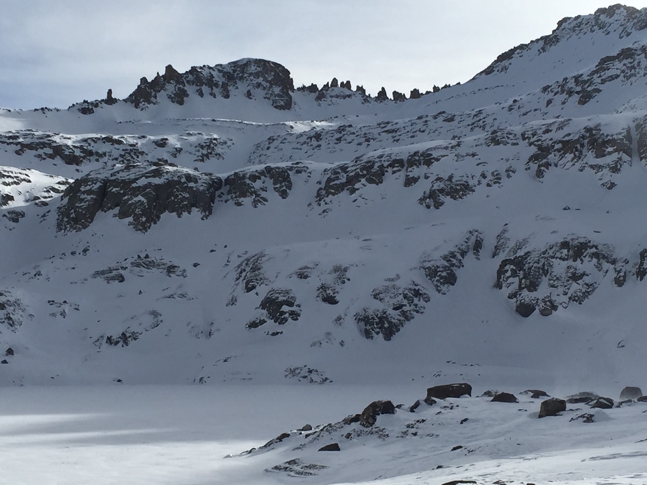
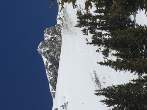
Columbine Lake

Blue Lake
Blue Lake/ East Basin
East Basin/ Blue Lake
Columbine – East Basin Col
Columbine Lake/ Mill Creek
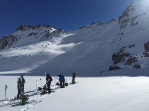
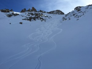
A beautiful Easy tour from the OPUS to Telluride. Eight miles, six hours, four thousand vertical.
Climbing directly north out of the OPUS and over to Columbine Lake. Then traverse the Mill Cr. Basin north to the rock towers at the Columbine – East basin Col. Drop several terraces to Blue lake , then exit Bridal Veil Creek past Bridal Veil Falls to the Pandora Mill and Telluride.
Tuesday, November 24th, 2015
With the early season snowpack just above average, we’re looking good for the coming season. Early storms have left up to four feet of base in the Northern San Juans, and conditions are already great.
Tuesday, September 22nd, 2015
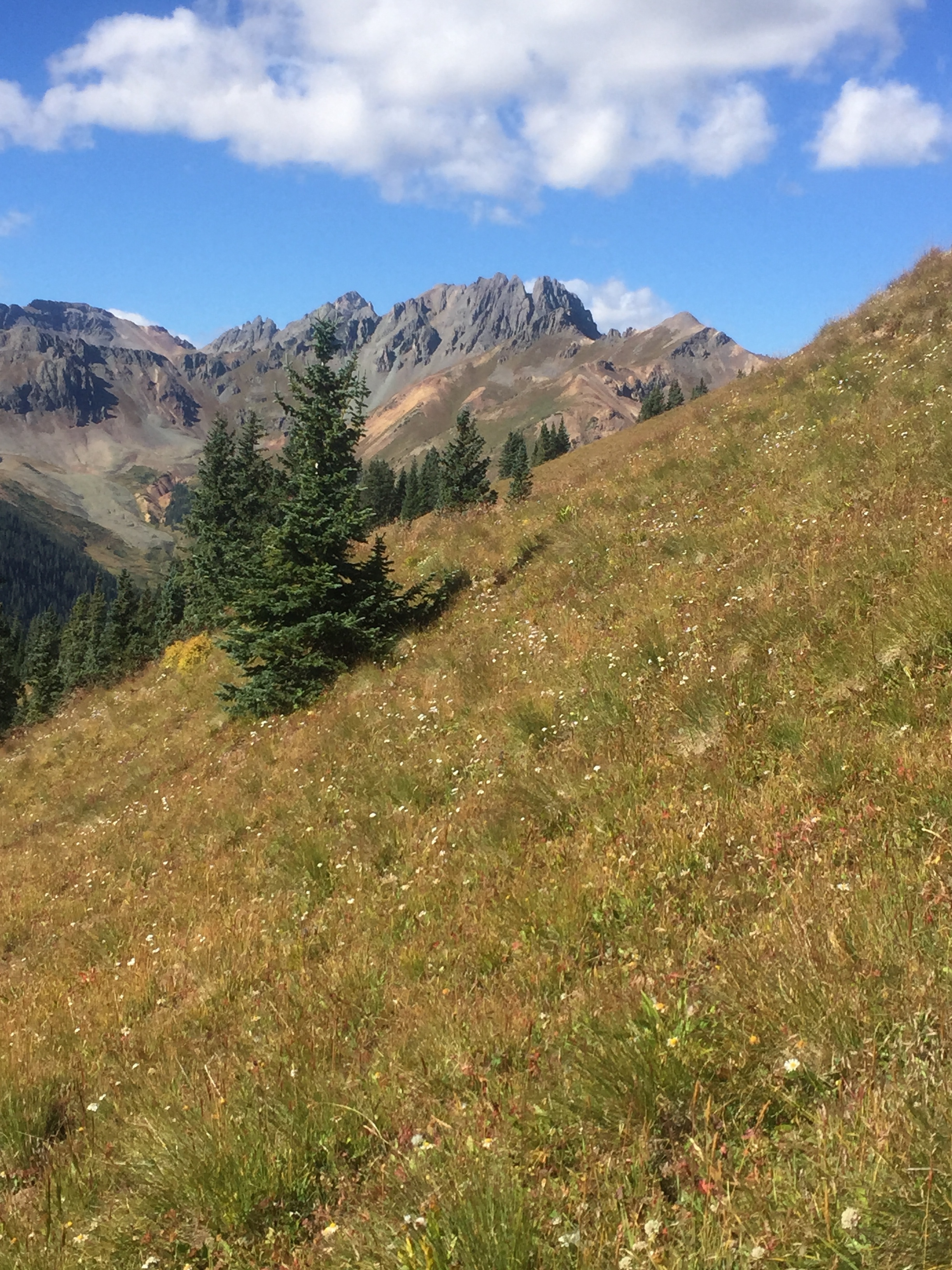
Big talk of big snow and the seasons have definitely turned. Foliage peaking soon and first snows should be just around the corner.


Tuesday, July 28th, 2015
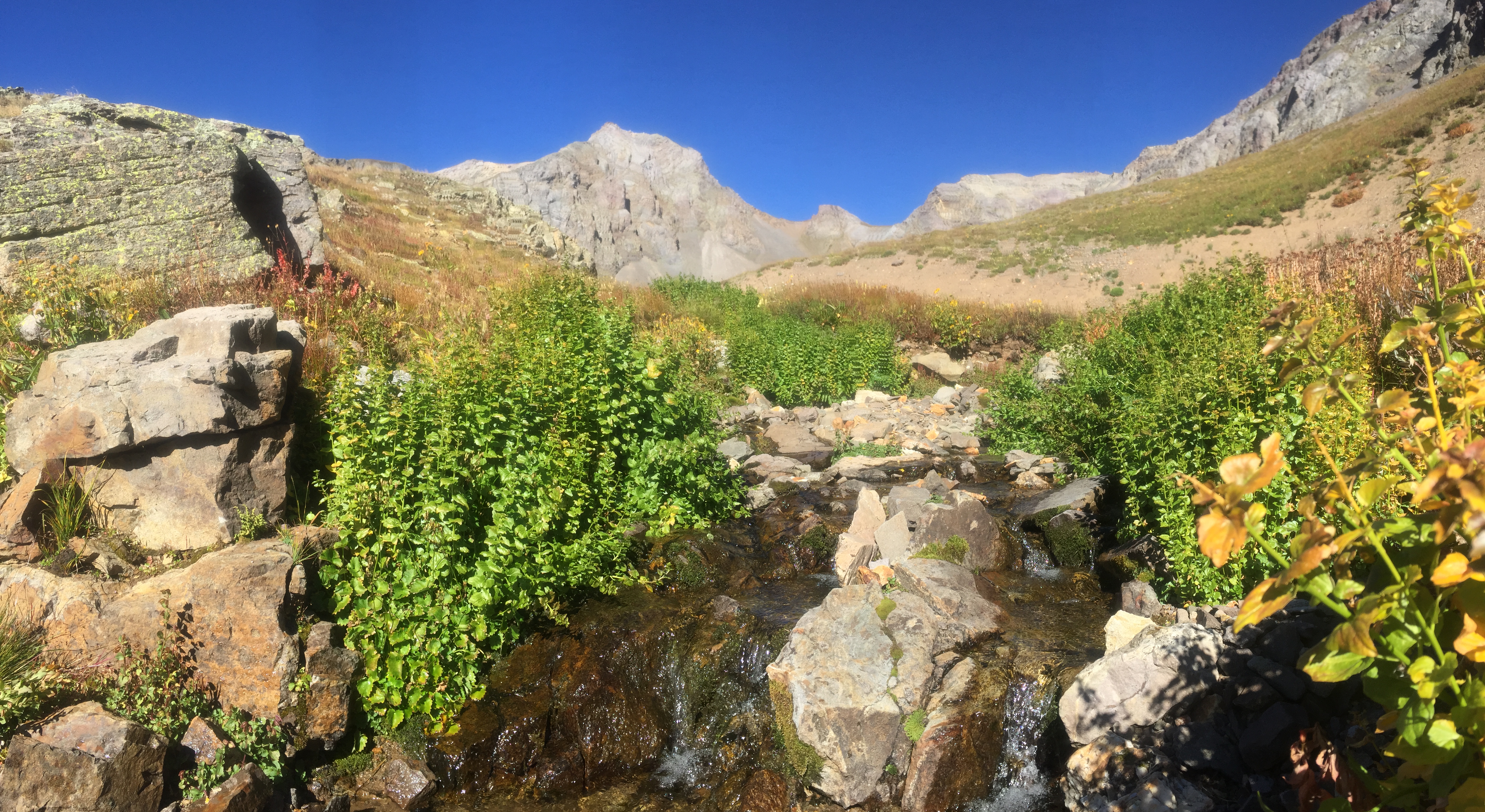
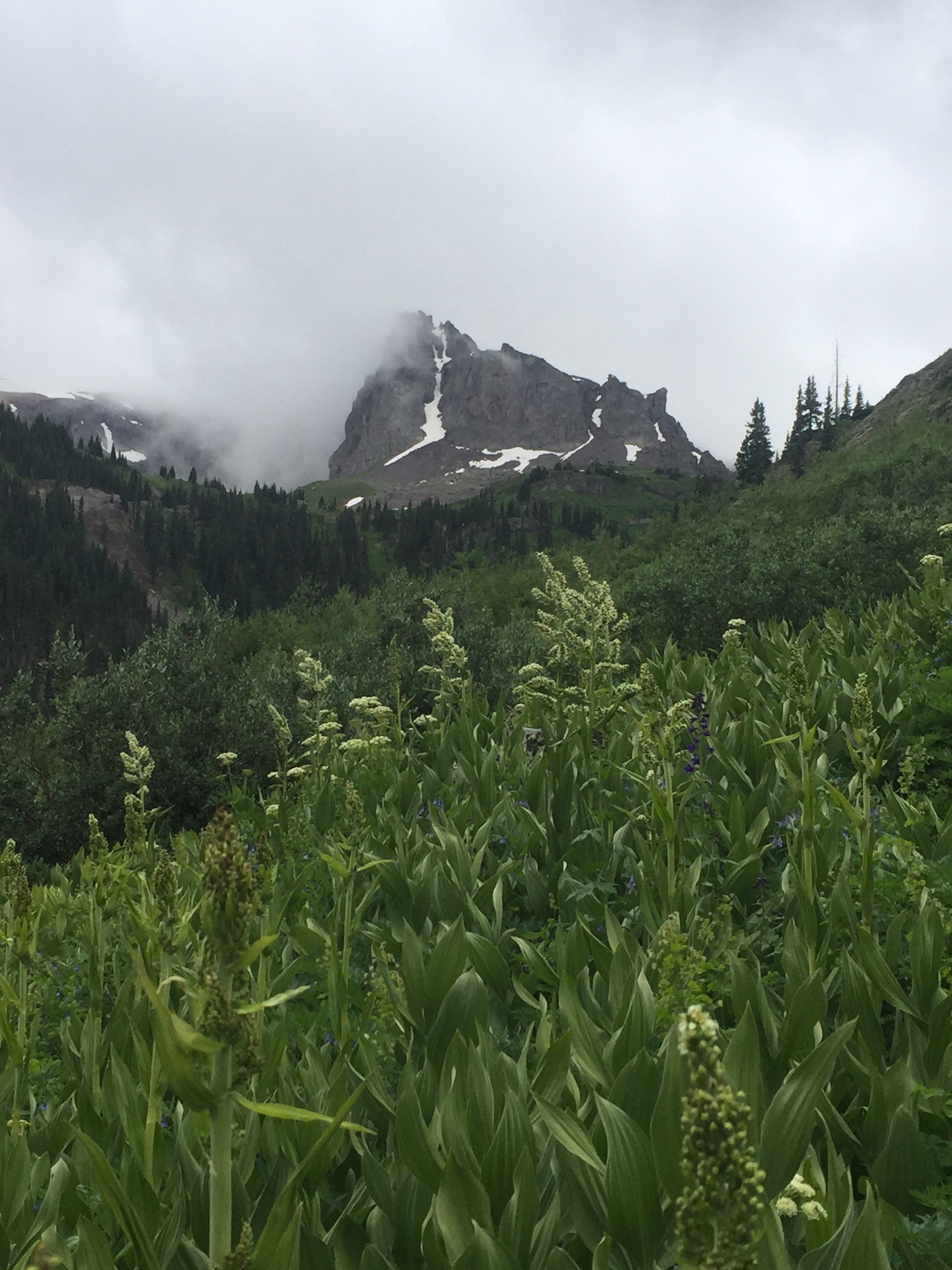
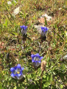
The lakes are still icy and the flowers are just getting started in the Alpine.
Monday, July 6th, 2015
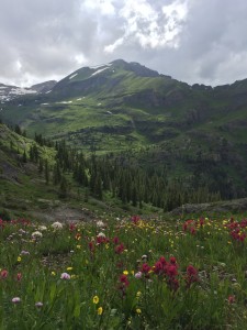
The snow is going fast up high and gone on the sunny slopes. The wildflowers are within two weeks of peak color.
There are a few spaces available for this weekends yoga/ hiking retreat, contact us at info@opushut.com
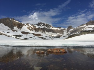
Columbine Lake 7/4/15
Hardrock 100 this weekend
Tuesday, June 16th, 2015
Monday, April 20th, 2015

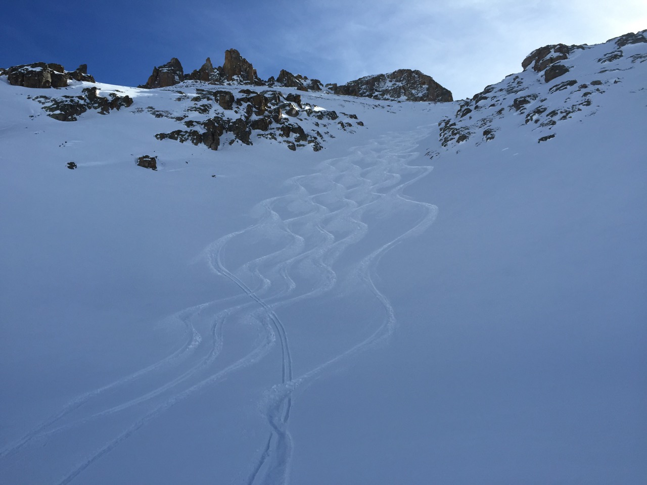
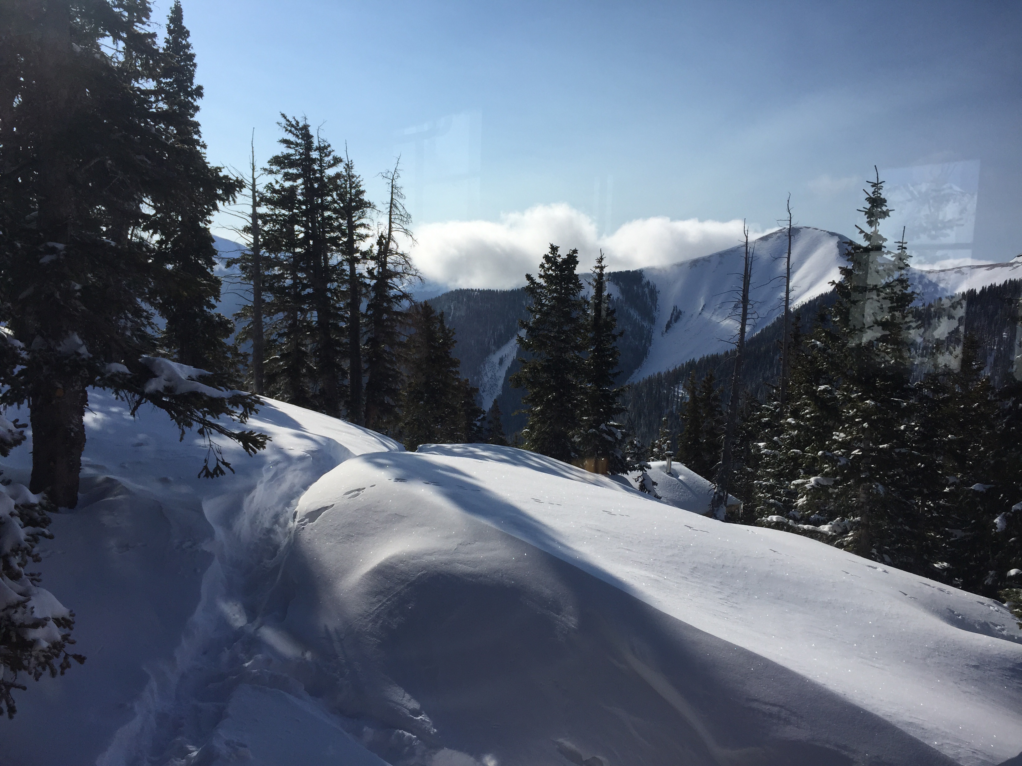
As usual, April snows have produced some of the best powder skiing of the year !